La Quinta, California, January 27, 2017
This is a hike that we gave up on, about 3/4 of the way to the end point. Blame it on one arthritic knee and one new (almost 6 months old) knee – there were just too many steep downhills! But we gave it a good try, and got more than 7 kms in (it would have been around 10 kms in total if we had gone the whole way). At one point, we chatted with one of the park educators – he said we turned around at the right place, that it would have been more challenging if we had continued.
I have tagged this on as Hard for a couple of reasons: really steep hard-on-the-knees downhill portions, and a lot of hard-on-the-knees loose sand to walk on. So it’s not really good for those of us with persnickety knees!
Map Information
While trying to figure out where we should go for a walk, we kept finding information about a bunch of trails centered around something called a Cove, which normally tells me that there’s water around. Not in this case, though! We found one trail map at Play In La Quinta. Today, we decided to check out the orange hike to the little lake.
I think that the Cove refers to the short trails near the center of this map. Or, it may refer to a huge storm pond that we walked beside, near the parking lot (whose coordinates are N33 38.917 W116 18.679).

One interesting point is that on the signposts and in the map above, the trail is referred to simply as “Cove to Lake Trail” – they never refer to Lake Cahuilla. Interesting.
Below is the Google Earth view of both today’s and yesterday’s walks. Today’s walk is shown in purple.

And here are both tracks as shown in my mapping software – today’s walk is shown in magenta.

And here is the elevation profile. Well, I think it’s interesting!! And it does show that there were some steep downhills. OK, yes, there were steep uphills, too, but I don’t have as much of a problem with uphills.

The walk
One of the first puzzles for us was that we kept seeing sun glinting off of something – metal? glass? gold? (probably not gold). We got closer, and realized that there was a whole bunch of broken glass and rusted beer cans, probably dating back a few decades. We suspect that this was perhaps a place for graduation parties for previous generations. The glass looked well worn, and some of it was the color of old Coke bottles. Many of the cans had triangular holes punched in their lids. (I still have that type of can-opener!)

The trail started off for the first kilometer or so as a nice flat path. But then we started climbing up and over a little mountain in our way, at which point the quality of the path changed. See this photo of Stephen on the trail.

At a certain point, we could see over the little mountain to the other side. It gave us a bit of hope for success.

This is a close-up of the trail to come. Near that patch of green in the lower left, you can see the trail working its way around that bit of mountain. More on that later.

We continued steadily uphill, and then we were faced with the first steep downhill. After I got down, I turned back to see from whence we had come. The arrow in this photo points to a couple of people at the top – we were there a few minutes earlier!

Once we got down from that hill, the trail was pretty level. It was quite sandy – not my favorite walking surface. Then, all of a sudden, we came upon this sign:

What a bummer! Because that trail off to the left was a challenge to climb AND a challenge to descend. We actually didn’t go all that far – at a certain point, we realized that there was yet another steep downhill, at which point we turned around.
From that part of the trail, we could see the golf course below:

And we could see the trail that we were about to tread. And we knew by looking at our maps that going around that bit of mountain ahead was still some distance from the lake.

This photo shows the quality of the trail that bypasses the golf course. Unpleasant!!

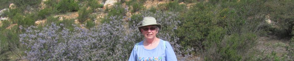
And the I-was-here photo shows some of the trail quality, too.

Flora
One nice thing was that there is some greenery – we can see a hint of green in the drab brown, probably due to the recent rains. And we also saw some yellow flowers. No idea what they are!

Fauna
The highlight of our day was when an oncoming hiker told us that there were some bighorn sheep heading our way. I tried to get a photo of them, but they either moved away just as I pressed the shutter, or they really blended in with the surrounding dirt and rocks – really hard to see in the photo, so I tossed it.
But all of a sudden, we realized that the sheep were heading to green pastures, specifically the golf course! As they stood there and munched away, we were able to get some photos of them.


And then Stephen decided to ignore the Private Property sign, and got really close to the sheep (but not too close!).

Conclusion
I would not recommend this trail to those with compromised knees that don’t like going down steep hills.